Rosarito and the toll road to Ensenada
Playas de Rosarito is a coastal municipality just south of Tijuana, with 126,890 residents at the 2020 census. The state tourism board's distance table gives between 21 and 31 km from Tijuana, depending on which row is read. Ensenada is about 105 km from Tijuana according to that table, and the SCT record lists three toll booths on the Tijuana-Ensenada toll road.
| Fact | Value | Source and date |
|---|---|---|
| Municipality population | 126,890 residents | Secretaría de Economía, Data México (INEGI) data from 2020 census (INEGI) |
| Tijuana to Rosarito distance | 21 to 31 km (the table prints both figures) | Secretaría de Turismo de Baja California data from undated page, read 2026-10-18 |
| Tijuana to Ensenada distance | about 105 km | Secretaría de Turismo de Baja California data from undated page, read 2026-10-18 |
| Tijuana-Ensenada toll booths | 3, one of them at Rosarito | Secretaría de Infraestructura, Comunicaciones y Transportes (SCT) data from SCT record, undated |
The setting
Playas de Rosarito is the coastal municipality immediately south of Tijuana.
Local agencies name areas such as Popotla, Calafia, Puerto Nuevo and Primo Tapia when they describe listings; the site groups the listings that mention each name into area pages.
The toll road toward Ensenada
The state tourism board calls this corridor the Carretera Escénica. For the Tijuana-Ensenada stretch, the SCT record lists three toll booths, one at Rosarito. Tolls are updated; check them with the operator before you travel.
Current listings in Rosarito
626 active listings today. Each card names the agency or developer that published it and leads to the original listing.
 Photo: Rosarito Home Premium
 Photo: Viblo Inmobiliaria
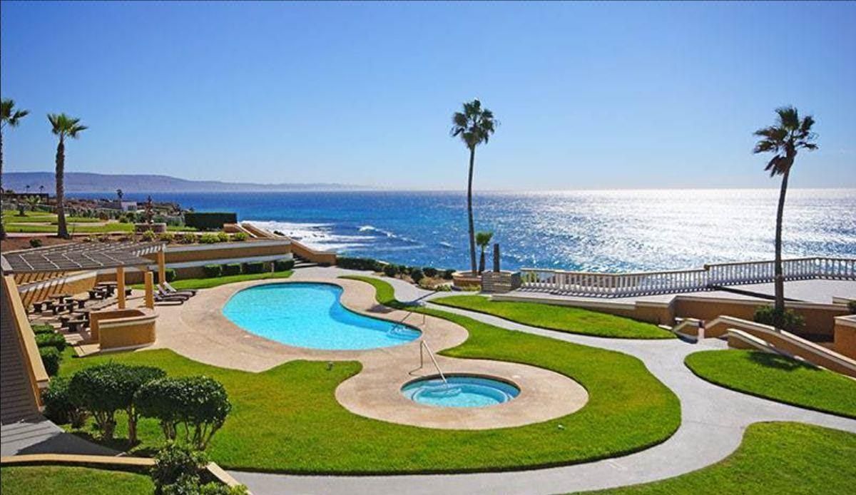 Photo: RE/MAX Baja Realty
 Photo: RE/MAX Grand
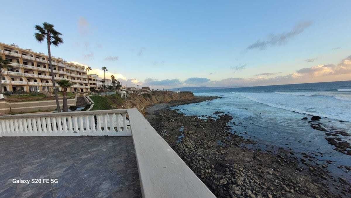 Photo: RE/MAX Baja Realty
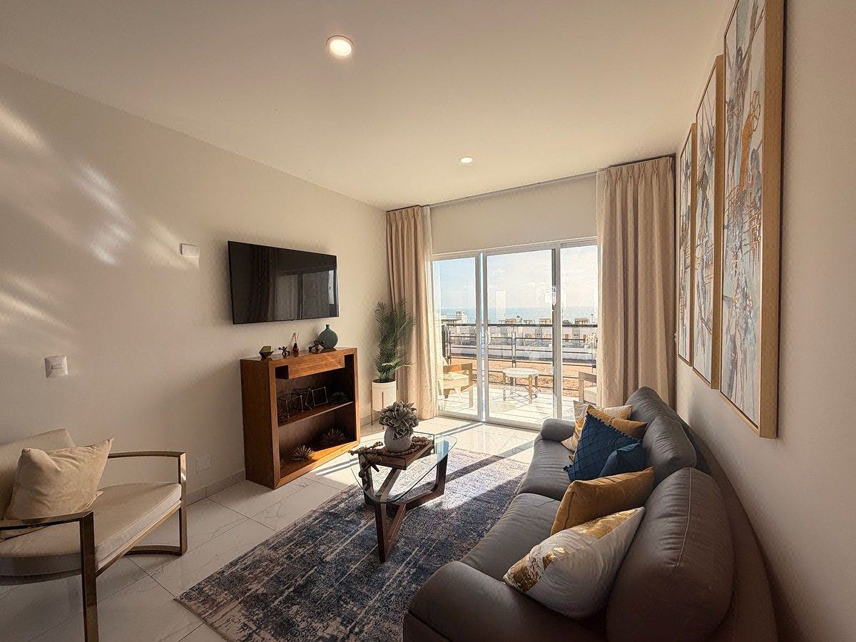 Photo: API Mexicali
Frequently asked questions
How many people live in Rosarito?
The municipality of Playas de Rosarito had 126,890 residents at the 2020 census (INEGI, via Data México).
How far is Rosarito from Tijuana?
Between 21 and 31 km according to the Baja California tourism board's table, which prints both figures for the same pair of towns.
Related guides
Ensenada: the coast, the city and the gateway to wine country
The port, the coast and the gateway to the Valle de Guadalupe: sourced figures and current listings.
Distances, roads and the border
Distances from Tijuana, the toll road, and where to see the border live.
Tijuana for cross-border buyers
The state's most populous municipality and its front door: population, distances and the border.
Sources
- Playas de Rosarito, municipality profile (Data México) · Secretaría de Economía, Data México (INEGI) · accessed 2026-10-18
- Roads and transport (distances from Tijuana) · Secretaría de Turismo de Baja California · accessed 2026-10-18
- Record of the Tijuana-Ensenada road (SIBUAC) · Secretaría de Infraestructura, Comunicaciones y Transportes (SCT) · accessed 2026-10-18
This page is general orientation with sources cited. It is not legal or tax advice and not an opinion of value. Confirm every figure with your notario público. Send us a question